Map Use: Reading, Analysis, Interpretation
Map Use: Reading, Analysis, Interpretation
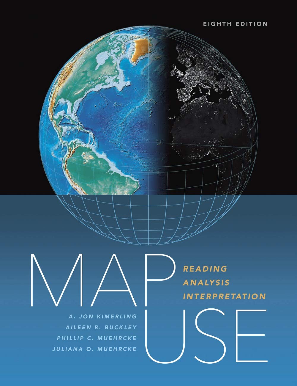
Map Use: Reading, Analysis, Interpretation, eighth edition, is a comprehensive, foundational textbook designed for the college curriculum. Updated with a new chapter highlighting map design, including web maps, the new edition also adds information about what’s going on with cartography today, including the use of imagery, remote sensing, and web concepts. Map Use provides students with the knowledge and skills to read and understand maps and offers professional cartographers a thorough reference resource. Nearly 600 full-color maps, photographs, and graphs illustrate the concepts behind communicating with maps, while an extensive glossary helps define key topics. Accommodating new developments in mapping, GPS, and geographic information system (GIS) technology, this newest edition renders basic cartographic principles accessible to all, from students of cartography and map design to those without a formal education in geography.
$19.99
10 in stock


Secure Payments
Pay with the worlds payment methods.

Discount Available
Covers payment and purchase gifts.

100% Money-Back Guarantee

Need Help?
(484) 414-5835
Share Our Wines With Your Friends & Family
Description
Additional information
| Best Sellers Rank | #756,435 in Kindle Store (See Top 100 in Kindle Store) #180 in Cartography #188 in Geography (Kindle Store) #31,648 in Engineering (Books) |
|---|---|
| Customer Reviews | /* * Fix for UDP-1061. Average customer reviews has a small extra line on hover * https |
OUR BEST COLLECTION OF COURSES AND BOOKS
Reviews
There are no reviews yet.